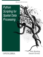
Python Scripting for Spatial Data Processing, 2013 by Pete Bunting and Daniel Clewley

Категория: Other
Поделиться:
This book is a Python tutorial for beginners aiming at teaching spatial data processing. It is used as part of the courses taught in Remote Sensing and GIS at Aberystwyth University, UK. Geographic information systems belong the group of applications that process spatial data.
Скачать
Комментарии